 IMMOBILI · PERSONE · LUOGHI
Axarquía · Málaga
Immobili in vendita a Salares
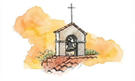
Salares lies between ravines and is part of the Axarquía’s Mudéjar Route. The minaret of Santa Ana church rises above the whitewashed houses in the village centre.

Properties in and around the area
We have no properties available in this area at the moment.
Visualizza tutti gli immobiliPopulation and distances
- Population
- 196 Municipality · Salares INE · 1 January 2025
- Málaga Airport (AGP)
- 73 km
- Coast
- 23 km Algarrobo Costa
Approximate driving distances from the centre of the town or village. © OpenStreetMap · OSRM · © Ministerio para la Transición Ecológica y el Reto Demográfico
Local services and shopping
Salares has a public branch clinic and a pharmacy. For supermarket shopping, Canillas de Albaida to the east is one option.
Find these places on Google Maps
Places to explore
Santa Ana minaret


The red brickwork forms interlacing diamonds. The bells occupy the upper section, added after the minaret became part of the church.
Bridge over the Salares river


The single-arched bridge crosses the river beside the village. It was part of the old network of paths linking settlements in the area.
Festival Árabe Andalusí
The festival recalls the village’s Andalusi past with a craft market, music and poetry.
A little local history
The layout of Salares follows the contours of the ravines. The single-arched bridge over the river formed part of the network of routes linking the rural settlements. This network helps explain why the village grew close to the river crossing.
The brick minaret of the former mosque later served as the bell tower of Santa Ana. Its interlacing diamond patterns are a surviving trace of Almohad architecture. A 1979 decree made it a national historic monument.
What to look for on a viewing
If you are viewing a house in the village, walk from where you would park. Note any steps, the gradient and how close a vehicle can get to the house for unloading.